宝箱を開けました
+${chestReward.xp} XP
Explorer
NOUVEAU ×${chestReward.collectible.quantity}
tapez pour fermer

ARで周囲のモニュメントを見よう アプリで宝箱を開けよう

Around Usはスマートフォン向けに作られています。カメラを街並みに向けて、拡張現実で周囲のモニュメントや場所を発見しましょう。 Around Usはスマートフォン向けに作られています。歩いて、探索して、近くの場所をキャプチャすると宝箱がアンロックされます。

位置情報を有効にする

周囲の興味深い場所を表示するには位置情報が必要です

近くの場所を発見

あなたの周りの興味深いスポットや隠れた名所を見つけよう

正確な道順

各スポットへの正確な道順と距離を取得

あなたの位置情報が他のユーザーと共有されることはありません。位置情報ボタンをタップしたときにのみ使用されます。

Drizzlecombe

アカウントにログイン

無料で探索を始めよう

世界中の84,900人のトラベラーに信頼されています

Googleで続行
Appleで続行
または

接続用のコードをお送りします

続行すると、利用規約とプライバシーポリシーに同意したことになります

受信トレイを確認してください

PINコードをメールでお送りしました。以下にコードを入力してください。

Drizzlecombe
ディスカッション レビュー 1 写真
4.5k 人気度

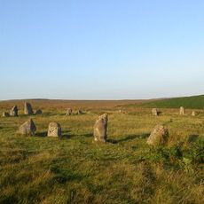
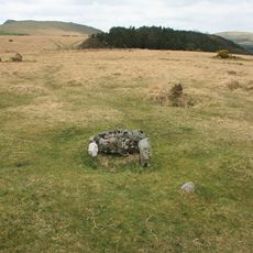
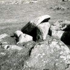
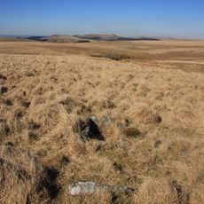
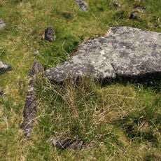
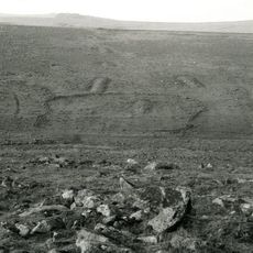
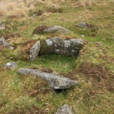
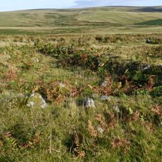
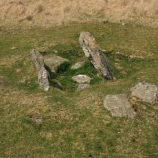
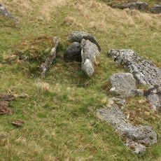
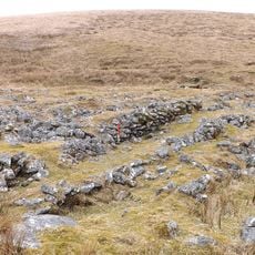
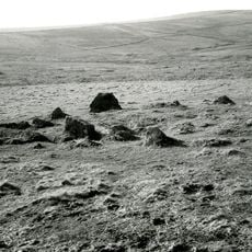
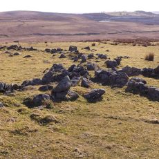
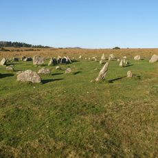
Drizzlecombe, イングランド、ダートムーアの青銅器時代の遺跡。

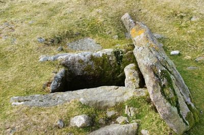
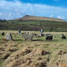
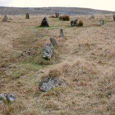
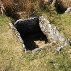
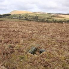
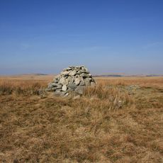
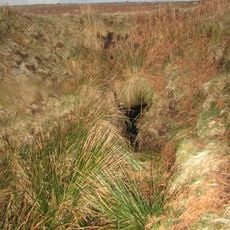
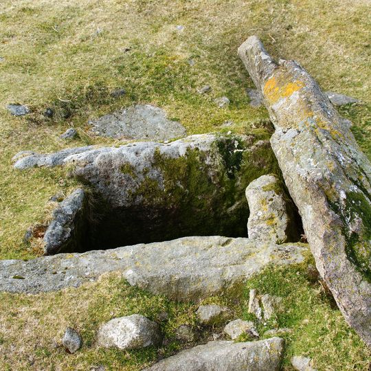
ドリズルコムは、イングランドのデヴォン州ダートムーアにある青銅器時代の遺跡で、3つの石列が開けた湿原を横切り、それぞれが背の高い立石または墳丘で終わっています。遺跡には、古代の小屋の輪と、地面に埋められた小さな石造りの埋葬室である数多くのシストも含まれています。

この遺跡は約3,000年から4,000年前の青銅器時代に、埋葬と儀式の場として建てられました。「ボーン・ストーン」として知られる立石の1つは、ある時点で倒れていましたが、1890年代に再び直立させられました。

ドリズルコムは、ダートムーアでいくつかの完全な石列システムを見ることができる数少ない場所の1つで、それぞれが背の高い立石で終わっています。石列に沿って歩くと、各石が端の墳丘との関係でどれほど意図的に配置されているかに気づきます。

この場所は開けた湿原にあり、すぐに濡れて滑りやすくなることがあります。丈夫な靴と防水性のある服装を強くお勧めします。石列と埋葬設備は互いにかなり近いので、のんびり歩いてすべてを見て回るのは簡単です。

この遺跡の南側の石列は、単一の列として始まり、二重の列に広がり、再び単一の列に狭まります。このような石列の変化はまれであり、英国の他の青銅器時代の遺跡では一般的に見られません。

好奇心旺盛なトラベラーのコミュニティ

AroundUsには、厳選された何千もの場所、地元のヒント、隠れた名所が集まっており、日々充実させているのは 60,000人の投稿者 世界中の.

探索を始める
GPS座標
50.48444,-3.98806
最終更新
2026年8月31日 00:46
この場所の周辺
Ditsworthy Warren House
イギリス

Ditsworthy Warren House

861 m
Eylesbarrow mine
イギリス

Eylesbarrow mine

1.4 km
Yellowmead Down
イギリス

Yellowmead Down

1.8 km
Brisworthy stone circle
イギリス

Brisworthy stone circle

3 km
Ringmoor stone row and cairn circle
イギリス

Ringmoor stone row and cairn circle

2.9 km
Grim's Grave cairn with a cist, Langcombe
イギリス

Grim's Grave cairn with a cist, Langcombe

2.2 km
Church of St Leonard, Sheepstor
イギリス

Church of St Leonard, Sheepstor

3.1 km
Brooke Monuments To The North Of Church Of St Leonard
イギリス

Brooke Monuments To The North Of Church Of St Leonard

3.2 km
Middleworth farmstead, 450m south east of Norsworthy Bridge
イギリス

Middleworth farmstead, 450m south east of Norsworthy Bridge

3 km
Prehistoric and historic archaeological landscape at Trowlesworthy Warren
イギリス

Prehistoric and historic archaeological landscape at Trowlesworthy Warren

3 km
Platform cairn and cist 80m south east of Calveslake Tor
イギリス

Platform cairn and cist 80m south east of Calveslake Tor

1.9 km
Cist south east of Roughtor Plantation
イギリス

Cist south east of Roughtor Plantation

1.8 km
Agglomerated enclosure with hut circles and later farmstead at Whittenknowles Rocks
イギリス

Agglomerated enclosure with hut circles and later farmstead at Whittenknowles Rocks

552 m
Partially enclosed stone hut circle settlement and post-medieval warren structures on the western slope of Little and Great Trow
イギリス

Partially enclosed stone hut circle settlement and post-medieval warren structures on the western slope of Little and Great Trow

2.9 km
Prehistoric settlement, three round cairns and a post-medieval rabbit warren at Legis Tor
イギリス

Prehistoric settlement, three round cairns and a post-medieval rabbit warren at Legis Tor

2.2 km
Cairn with cist north of Gutter Tor
イギリス

Cairn with cist north of Gutter Tor

1.4 km
One of several cairns with cists south of Langcombe Brook
イギリス

One of several cairns with cists south of Langcombe Brook

2.3 km
Round cairn on the summit of Great Gnat's Head
イギリス

Round cairn on the summit of Great Gnat's Head

2.8 km
Cairn with a cist south-east of Shavercombe Tor
イギリス

Cairn with a cist south-east of Shavercombe Tor

1.1 km
Three round cairns 370m ENE of Down Tor
イギリス

Three round cairns 370m ENE of Down Tor

2.8 km
Multi-period remains at Hentor Warren
イギリス

Multi-period remains at Hentor Warren

962 m
Cairn with a cist north of Whittenknowles Rocks
イギリス

Cairn with a cist north of Whittenknowles Rocks

1.1 km
Round cairn 100m south of Down Tor
イギリス

Round cairn 100m south of Down Tor

2.6 km
Cairn with a cist east of Willings Walls Reave
イギリス

Cairn with a cist east of Willings Walls Reave

1.8 km
A prehistoric settlement with cairns and a historic tin mill, streamwork and buildings lying adjacent to the Langcombe Brook
イギリス

A prehistoric settlement with cairns and a historic tin mill, streamwork and buildings lying adjacent to the Langcombe Brook

1.5 km
Yellowmead stone circles, cairn and stone alignment
イギリス

Yellowmead stone circles, cairn and stone alignment

1.9 km
Maj J. Bayly Memorial Cross, Sheepstor
イギリス

Maj J. Bayly Memorial Cross, Sheepstor

3.1 km
Two Brothers Adit
イギリス

Two Brothers Adit

1.4 km
フルマップを表示
レビュー
体験を共有

レビューはまだありません

ディスカッション
ディスカッションを始める...

ディスカッションはまだありません

Drizzlecombe - イングランド、ダートムーアの青銅器時代の遺跡。」はAround Us(ja.aroundus.com)が提供しています。画像とテキストはWikimediaプロジェクトに由来し、クリエイティブ・コモンズ・ライセンスの下で公開されています。この注記が明確に表示されている限り、ライセンスの条件に従って、このページのコピーを複製、配布、改変することができます。

行く先々で隠れた名所を発見しよう!

秘密のカフェから息をのむような絶景ポイントまで、混雑した観光地を避けて、あなたのスタイルに合った場所を見つけましょう。音声検索、スマートフィルタリング、ルート最適化、世界中の旅行者からのインサイダー情報で簡単に探せます。今すぐダウンロードして、完全なモバイル体験をお楽しみください。

Around Us App Screenshot

新しい場所を発見するユニークなアプローチ

Le Figaro

訪れる価値のあるすべての場所

France Info

数クリックでオーダーメイドの小旅行

20 Minutes

Around Us
トラベルガイド&マップ
ダウンロード

スマートフォンに送信

QR Code
1

スマートフォンでカメラアプリを開きます。

2

カメラをQRコードに向けると、通知が表示されます。

3

通知をタップしてリンクを開きます。